Geocaching January: The Captain John Smith Geotrail

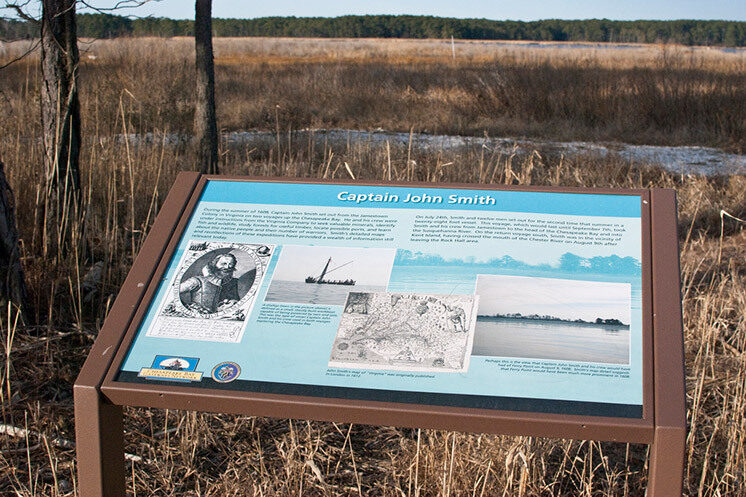
Over 400 years ago, Captain John Smith explored the Chesapeake Bay… and now it is time for your students to do the same! The Captain John Smith geotrail allows students, teachers, and the public to become adventures in their own right as they search for the “hidden treasure” using a hand-held Global Positioning System (GPS) unit to plot map coordinates that lead participants to geocaches.
Learn more about what geocaching is and how to do it in our “Geo-What” blog.
The Captain John Smith geotrail was developed through a partnership between the National Park Service and its Chesapeake Bay Gateways and Watertrails Network, the Maryland Geocaching Society, and the Chesapeake Conservancy after the success of the Star-Spangled Banner geotrail. The Captain John Smith geotrail allows participants to explore more than 40 sites located along the James, Nanticoke, Potomac, Rappahannock, and the Susquehanna Rivers that highlight the Chesapeake Bay region’s abundant natural, historic, and cultural resources.
The geocaches along this trail are hidden in places that were significant to Captain John Smith’s expeditions, past and present Native American communities, and the Chesapeake environment, and were designed to complement and promote the congressionally designated Captain John Smith Chesapeake National Historic Trail. A narrative document is located in each geocache, and will provide your students with information about the site they are visiting. For example, at a geocache site in Susquehanna State Park, the narrative describes the recreation opportunities available at the park, Captain John Smith’s encounter with the Massowomeck Indians in late July 1608, and changes in the environmental health of the Susquehanna Flats. A brief excerpt from this narrative is included below:
“…The Susquehanna Flats, a relatively shallow area at the mouth of the Susquehanna River, was covered in hundreds of acres of submerged aquatic vegetation in Captain John Smith’s time. With development and farming, excessive amounts of nitrogen, phosphorous, and heavy sediment did significant damage to the vegetative beds. Water quality improvements in the Susquehanna have begun to help the underwater grasses come back, and also some of the migratory waterfowl that used to feed on them…”
Visit the National Park Service Captain John Smith geotrail website to learn more about the geotrail or click here for information on the operational status of geocaches and for gps coordinates that will lead you to the caches.
